Location: LL40 2NG, near Dolgellau, Snowdonia National Park, North Wales
Map: OS Explorer Map OL 18
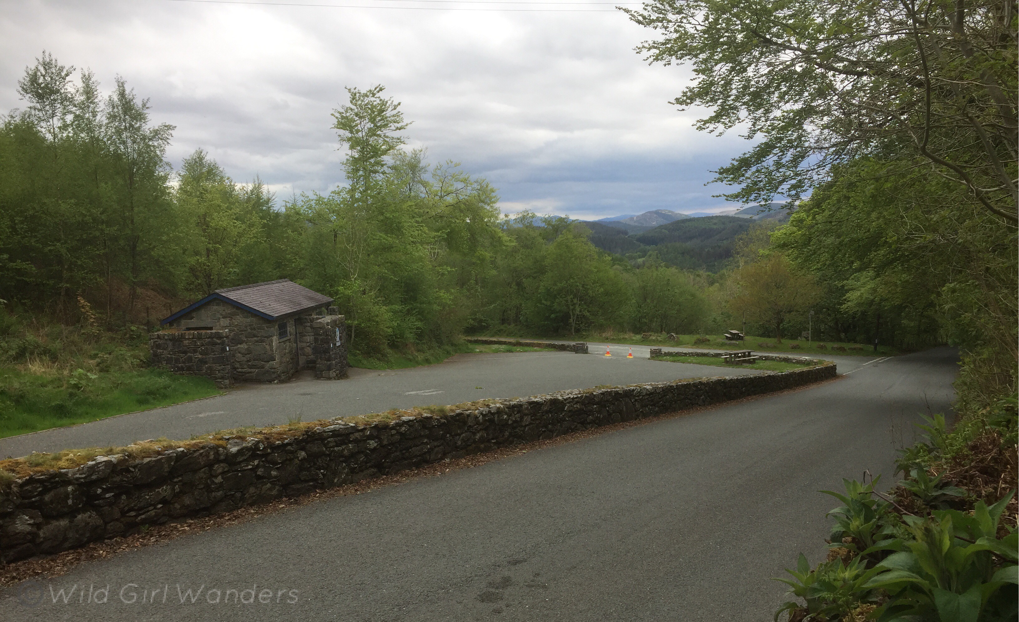
Free parking and toilets at the start
I’d like to post some of my favourite walks on here every now and then, so thought it best to start with one close to home. Foel Offrwm is one of my favourite places in the world, and you can see it from the house I grew up in. Actually, it blocked our view of the sea! But it is a lovely view in and of itself and well worth the short climb to the 405 meter summit. If you don’t fancy the summit there’s a new circular walk that’s longer and much less of a climb but still offers some amazing views of the surrounding mountains and valleys as you follow the path around the middle section of the hill.
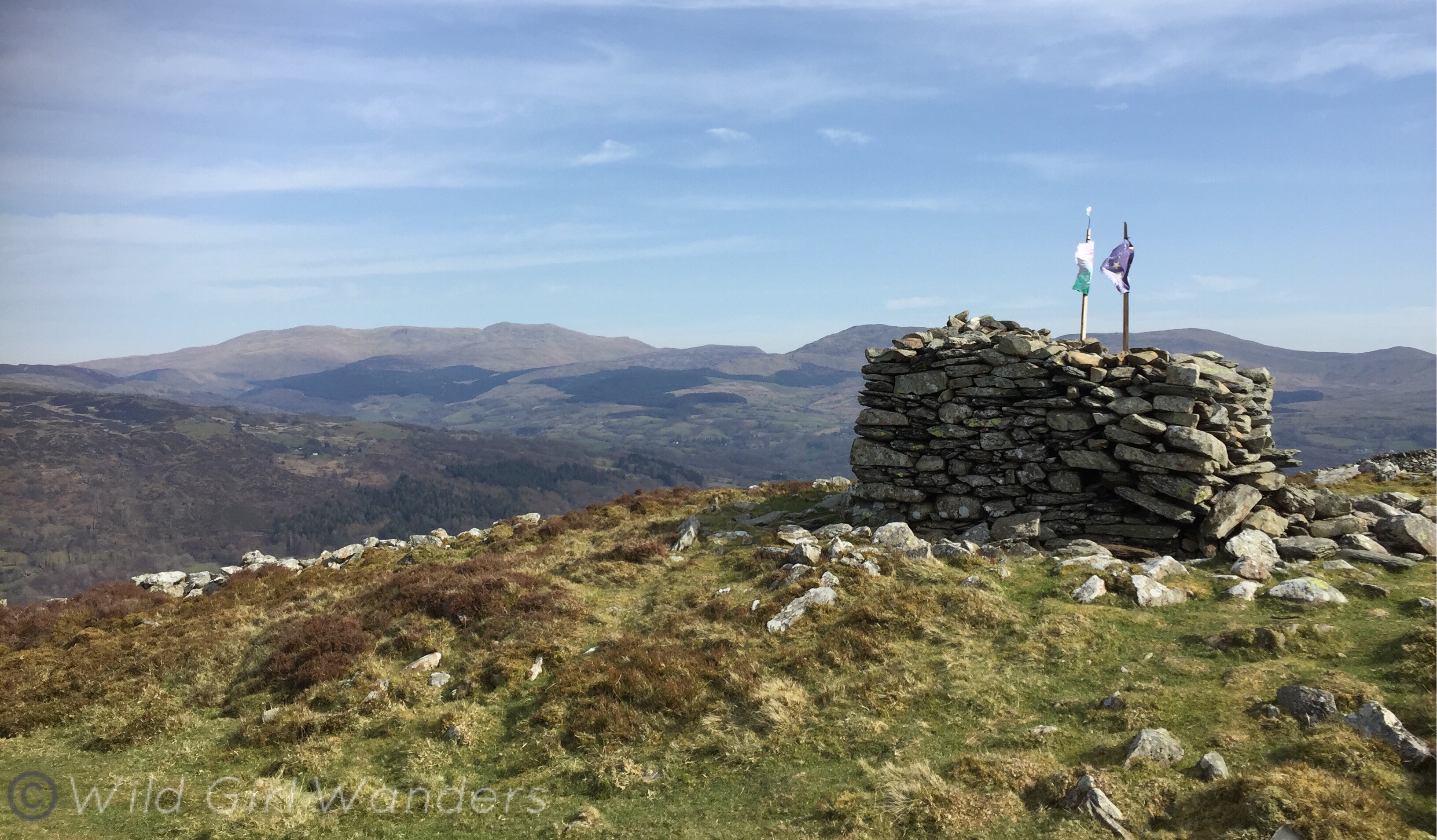
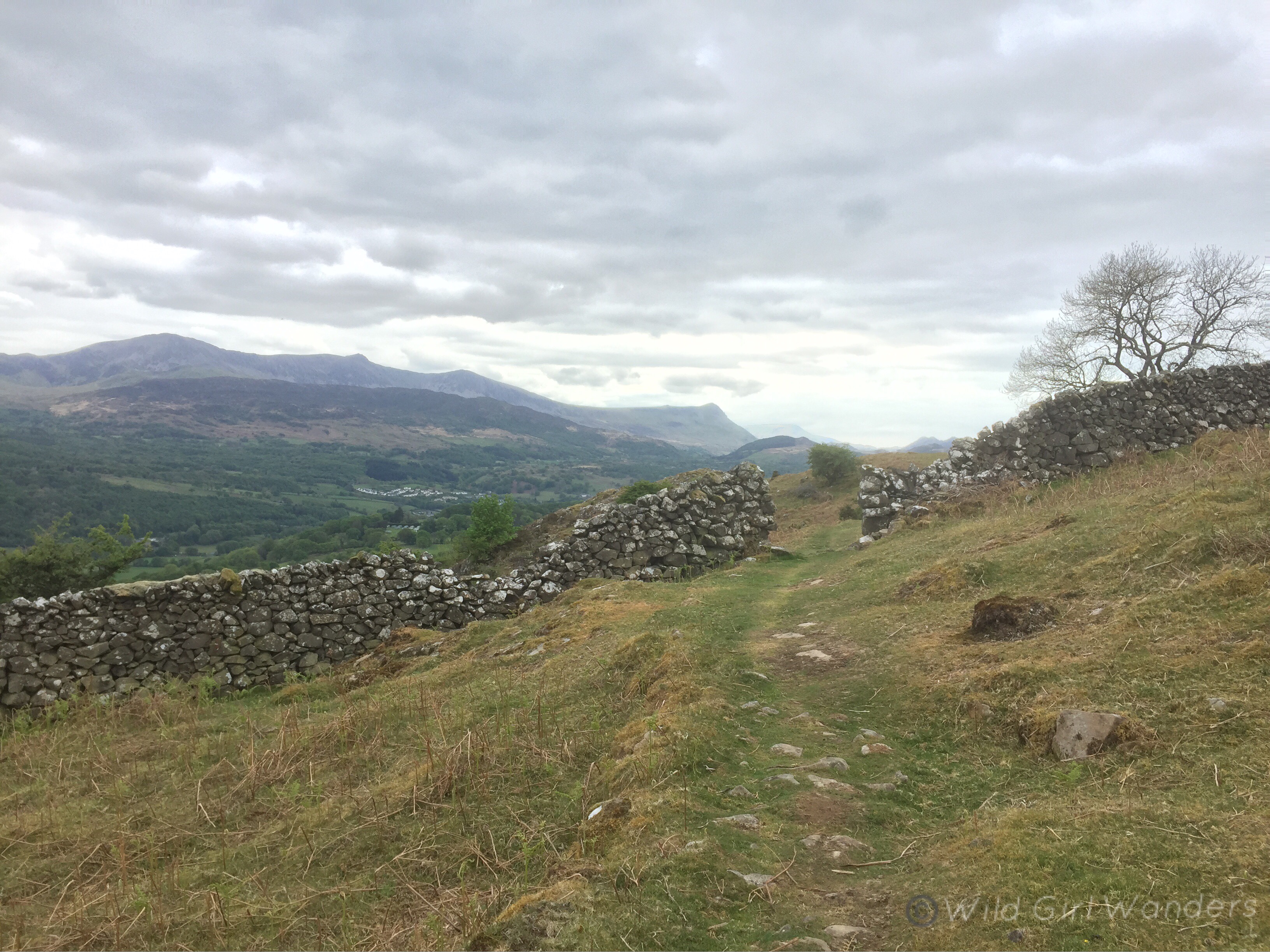
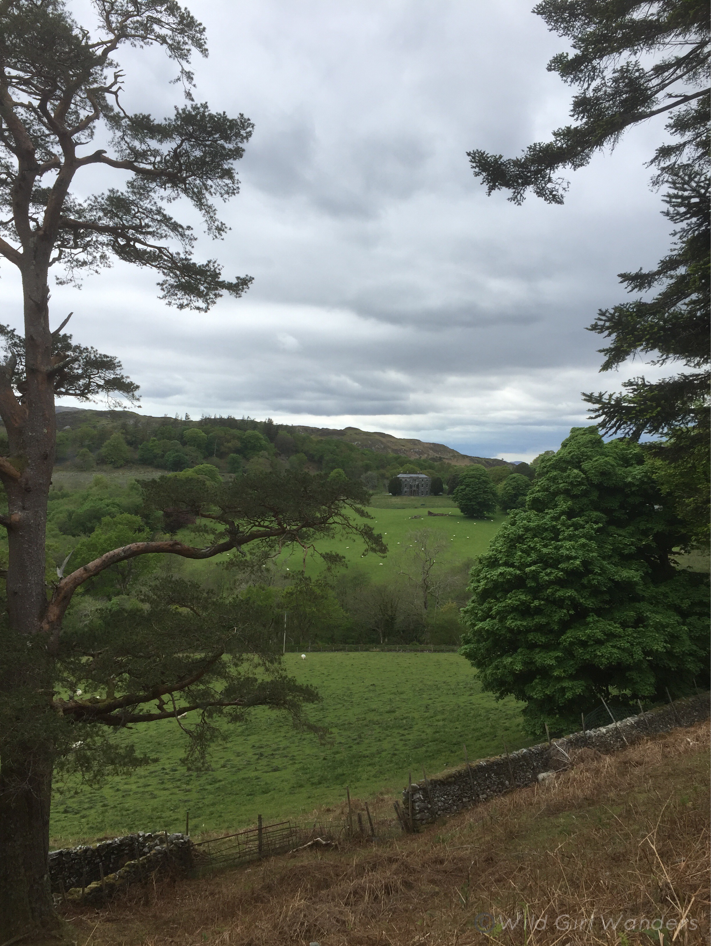
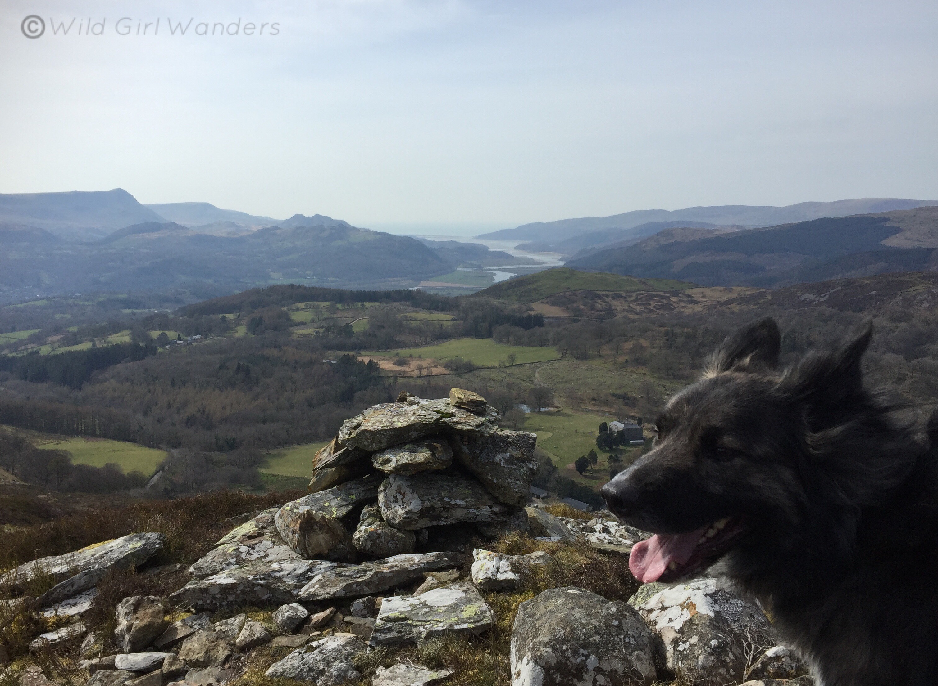
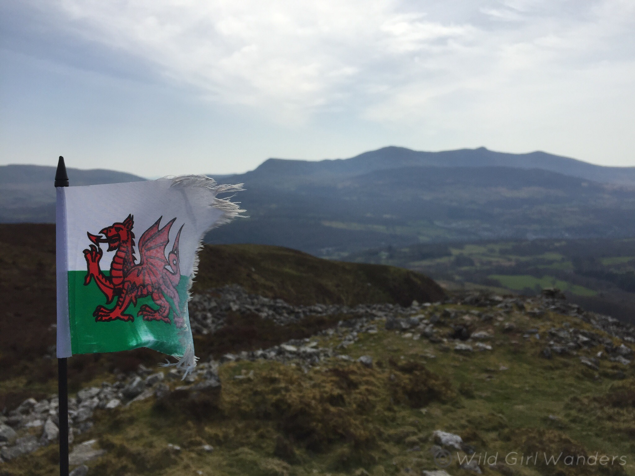
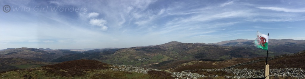
Foel Offrwm’s position, smack bang in the middle of the valley leading up to the Mawddach Estuary, makes it the best place to appreciate a 360 degree view of the area. From the summit there are mountains in every direction, the Rhinogs, Rhobell Fawr, the Arans, Y Garn and of course Cader Idris. You can even see the sea at the Mawddach Estuary’s end. At the top of the hill there’s also an Iron Age Hill fort and a small stone tower flying the Welsh flag. It’s super picturesque and it’s truly amazing to think that people were living up there over two thousand years ago, admiring a much wilder view of lands that I grew up in. Despite the remoteness of the location, the fort was well occupied too. There’s evidence of around 40 roundhouses! It’s definitely where I’d put my house and I wish I could see what it looked like all that time ago.
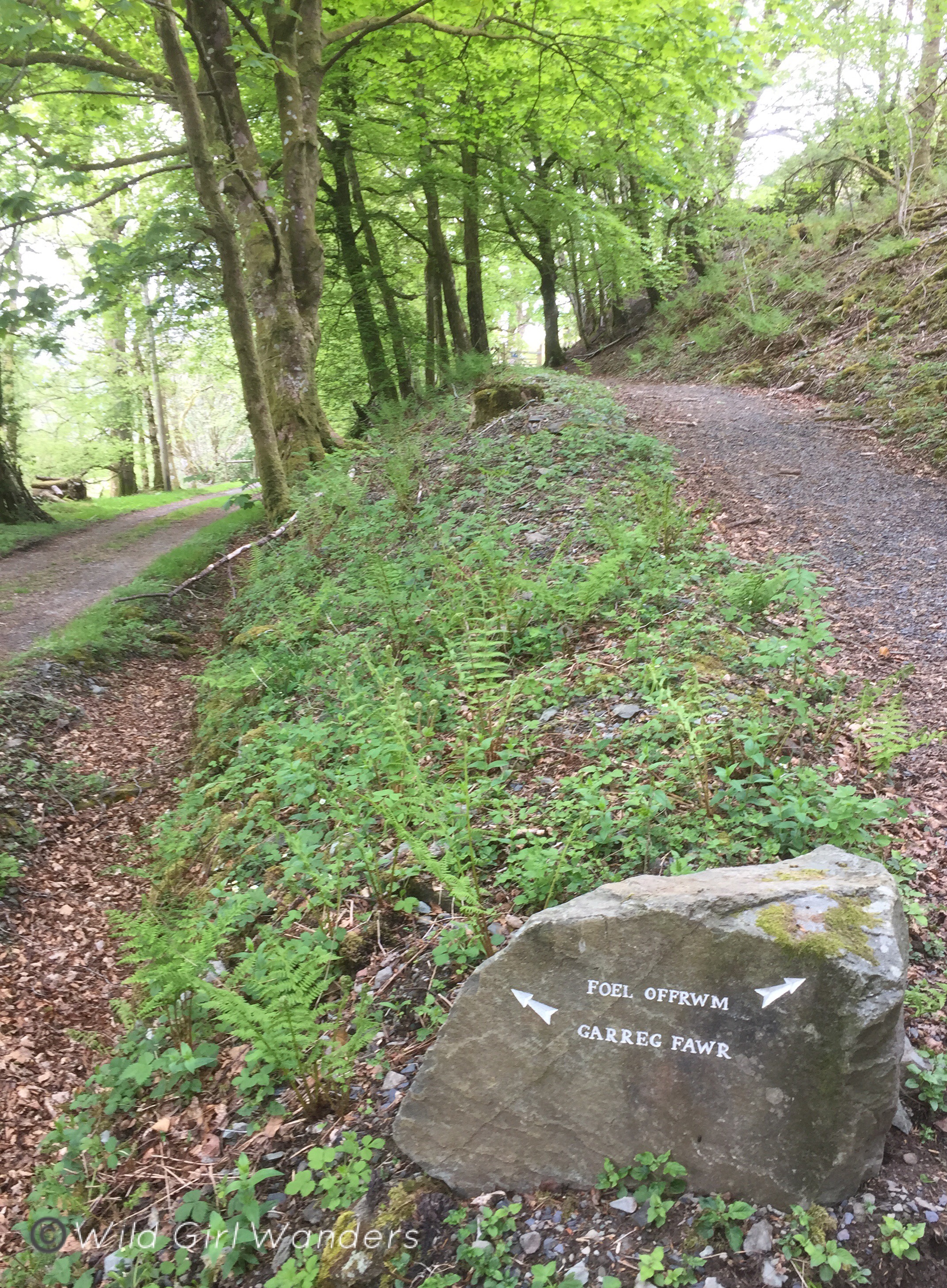
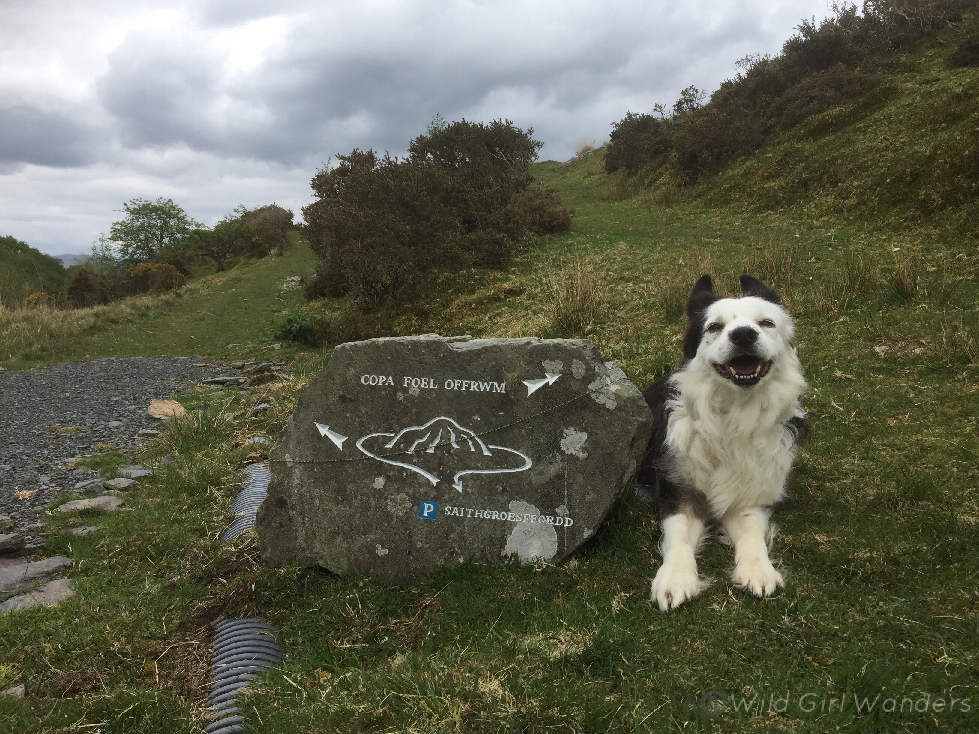
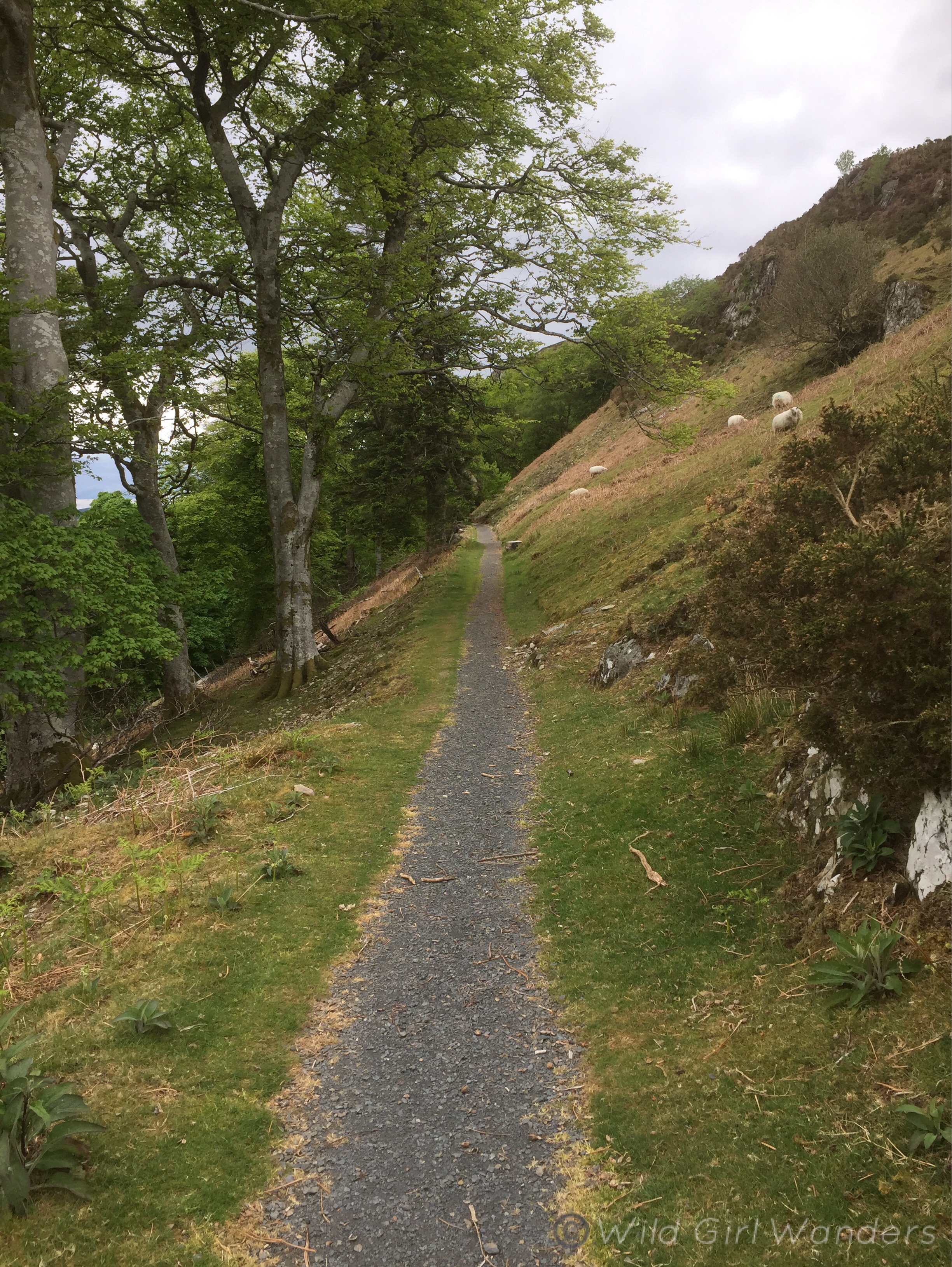
The circular and the walk to the summit start on the Llanfachreth road from Dolgellau, from the Saithgroesffordd car park. There are toilets at the car park and parking is free. The car park is also the start of the precipice walk which is another great circular, though it definitely sees a lot more traffic than Foel Offrwm. If you’re walking your dogs make sure you keep them on a lead as the entire walk is on farm land and there are always sheep around. Respect the area by carrying poo bags for any dog mess and picking up litter, there is a bin at the car park.
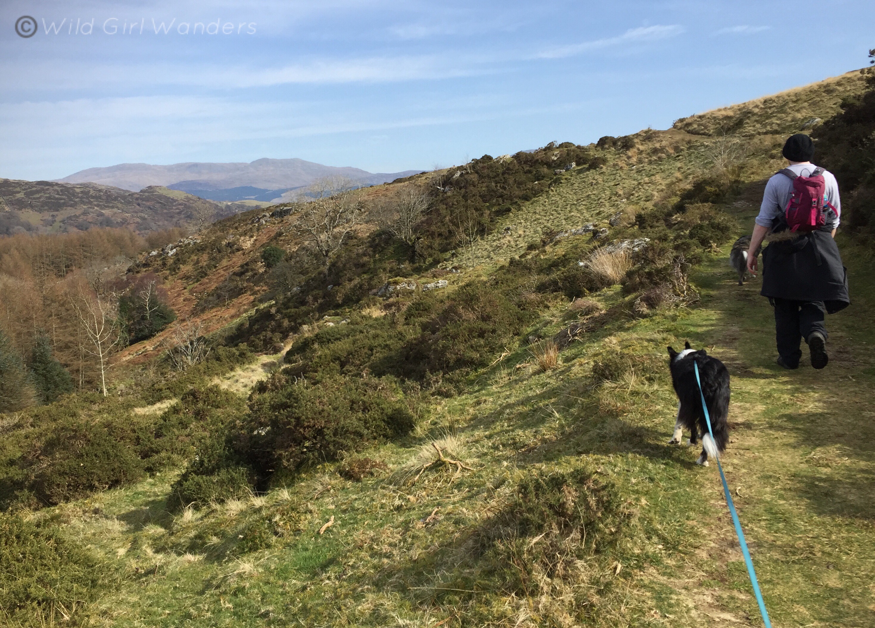
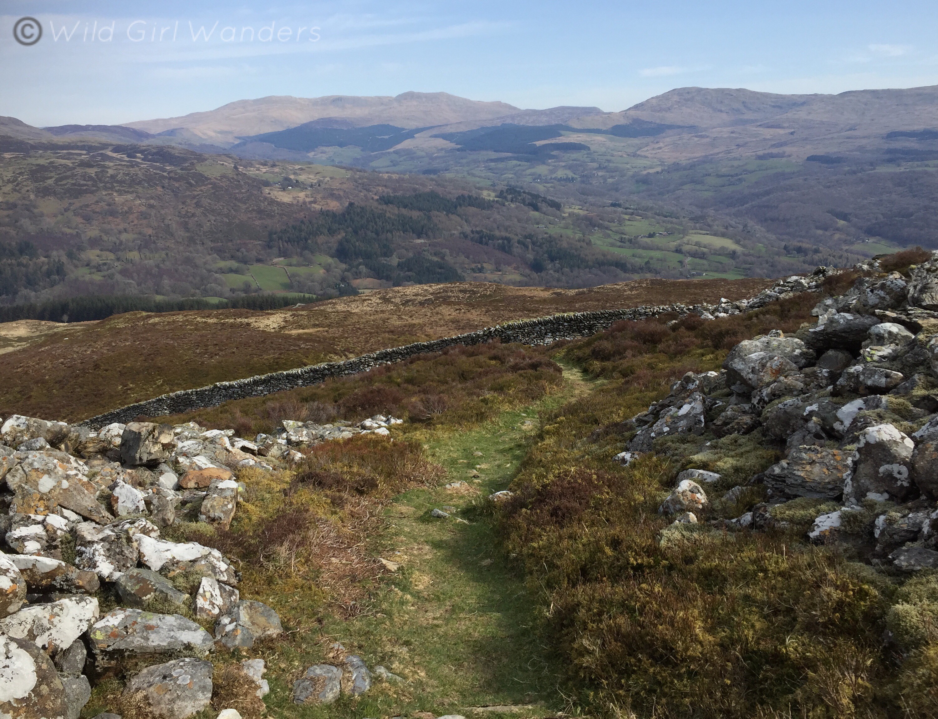
I think the circular is supposed to be walked in the counterclockwise direction but I prefer to start by going North towards Llanfachreth, following the path clockwise. Following the trail this way it starts at a slight incline and your first big view is of the Rhinogs towards Trawsfynydd and Rhobell Fawr over Llanfachreth village. As you follow the path around the hill you’ll see the Arans (Aran Benllyn and Aran Fawddwy) stretching from Llanuwchllyn near Llyn Tegid all the way to near Cader Idris. I love these mountains, I used to watch the moon rise over them from my bedroom window and they also make great summit hikes. I once camped on Aran Fawddwy just below the summit, in a bog, in a thunder storm, with 5 friends and a very leaky tent….My companions disowned me briefly for leading such a disastrous expedition. We had ascended cross country style, spurning actual footpaths, woke up in a puddle and practically fell down the mountain in our haste for warmth and dry clothes the following morning. If you’re inspired to climb Aran Fawddwy by the views on Foel Offrwm I’d recommend the Cwm Cywarch route!
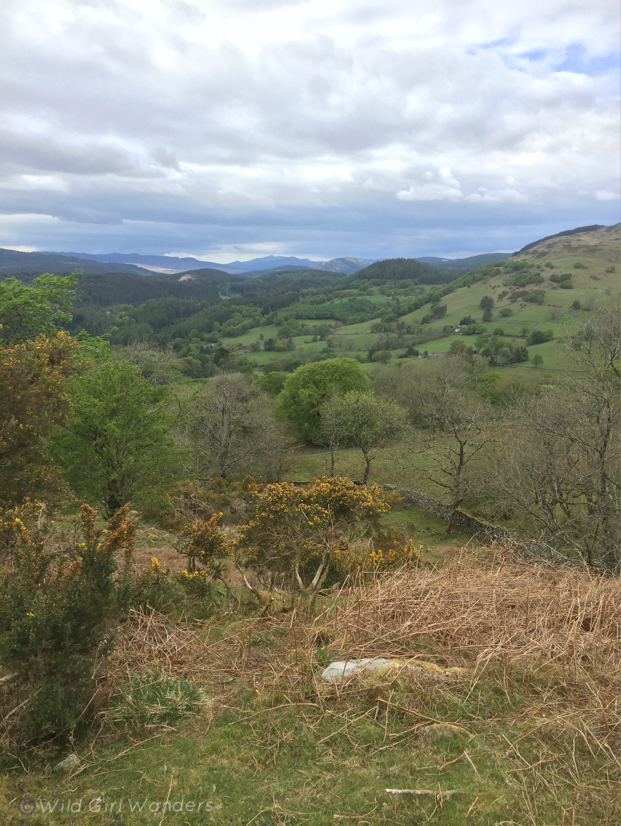
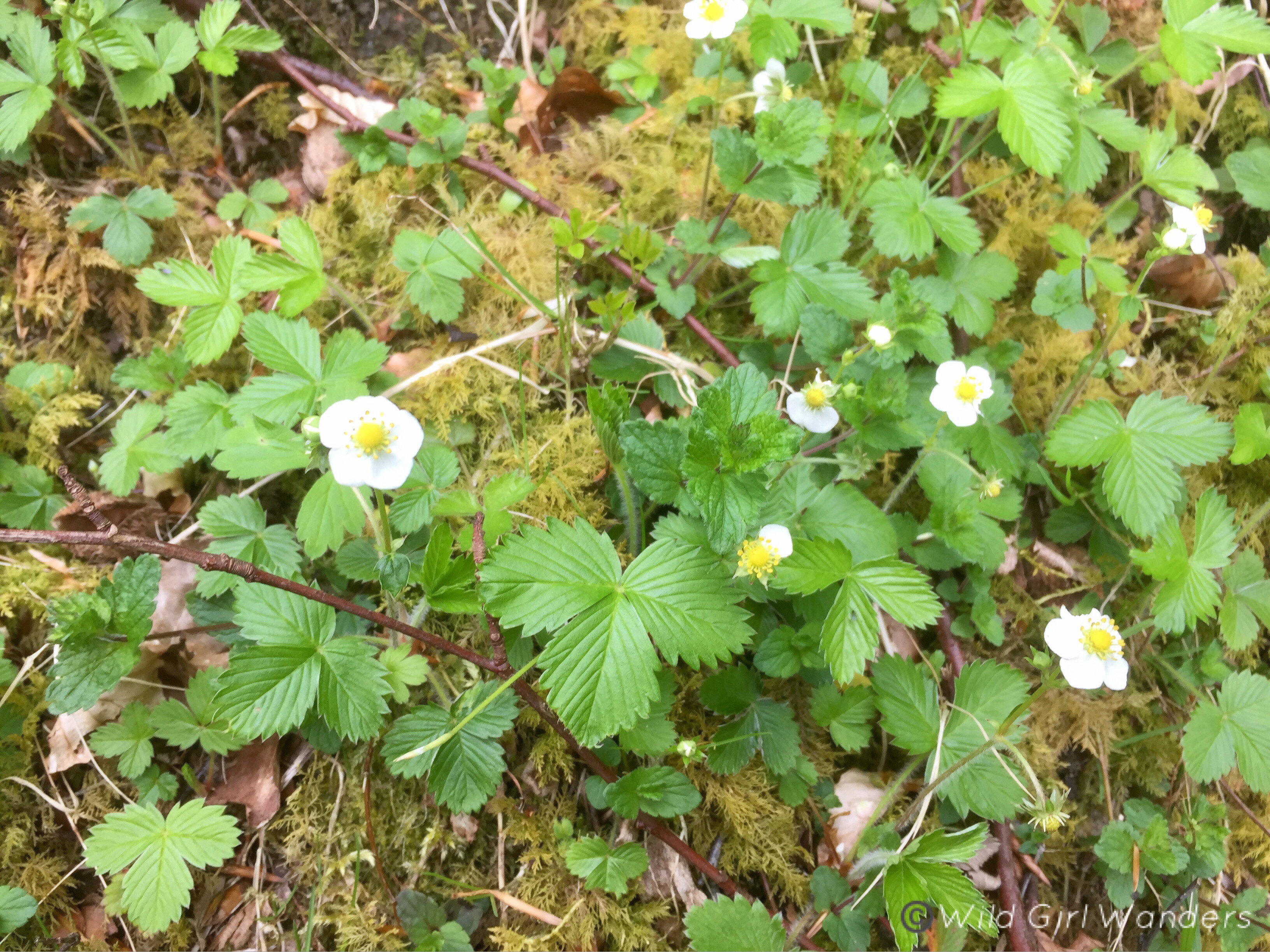
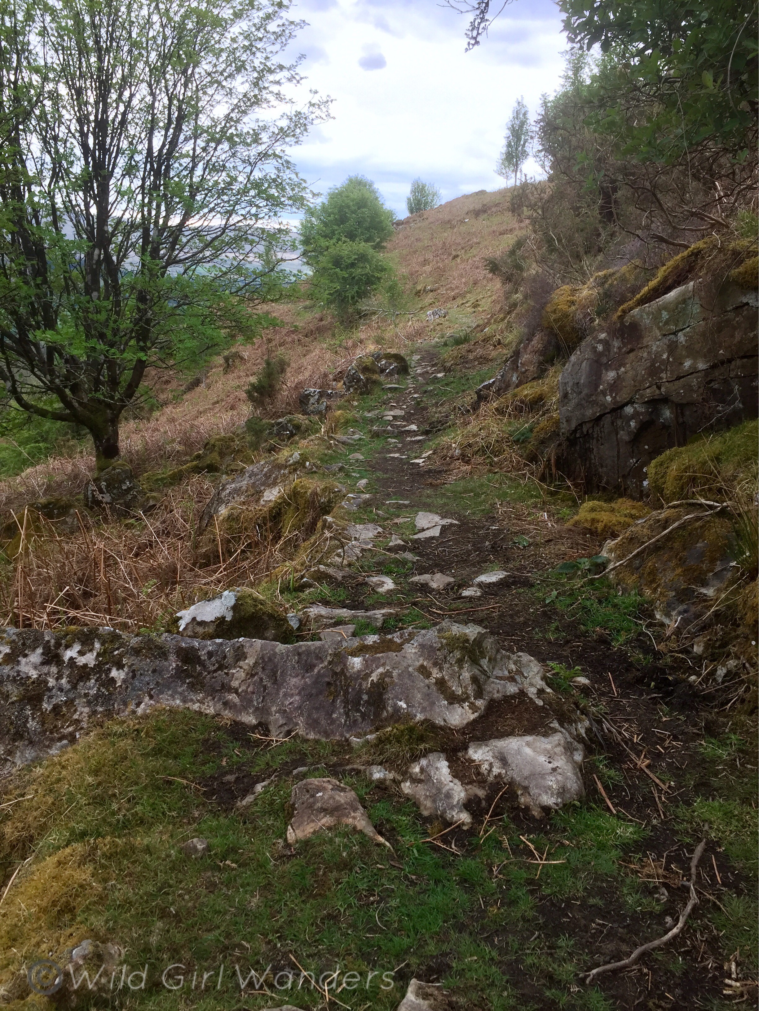
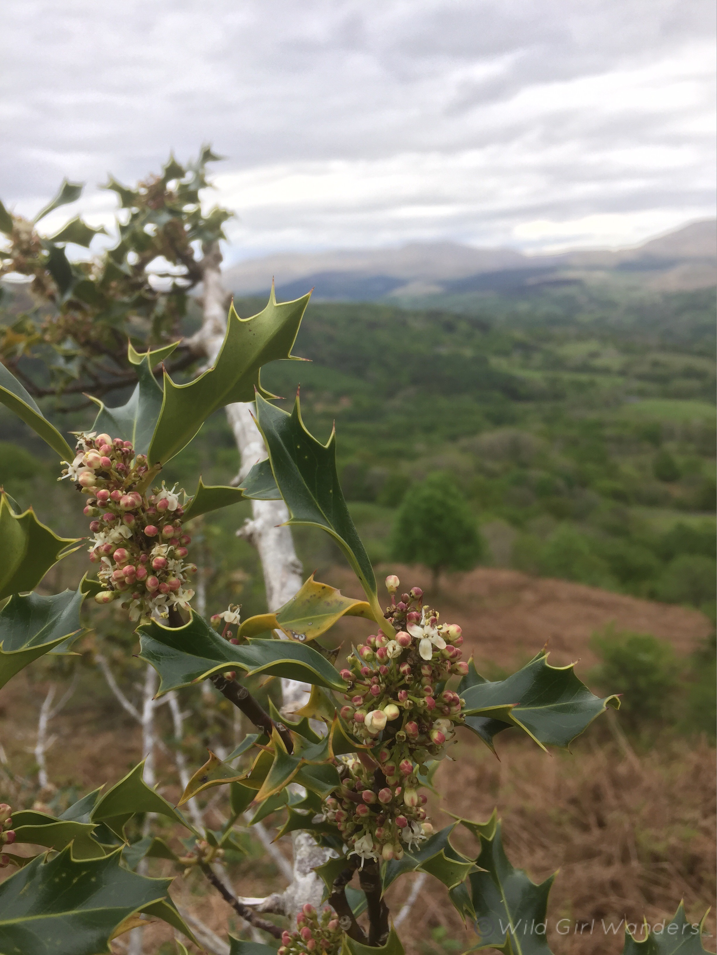
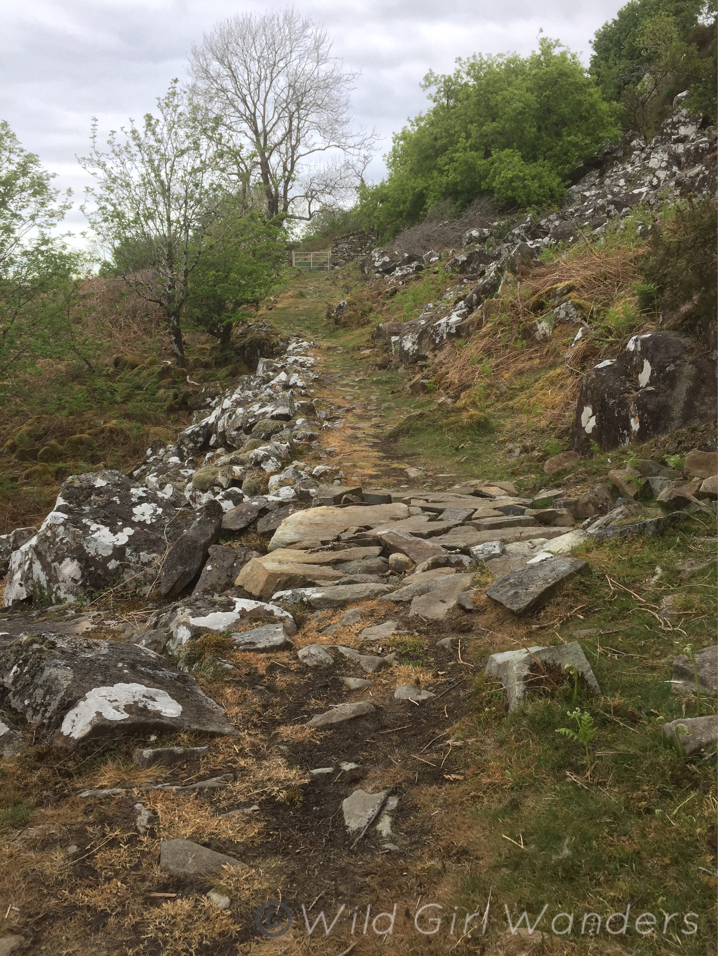
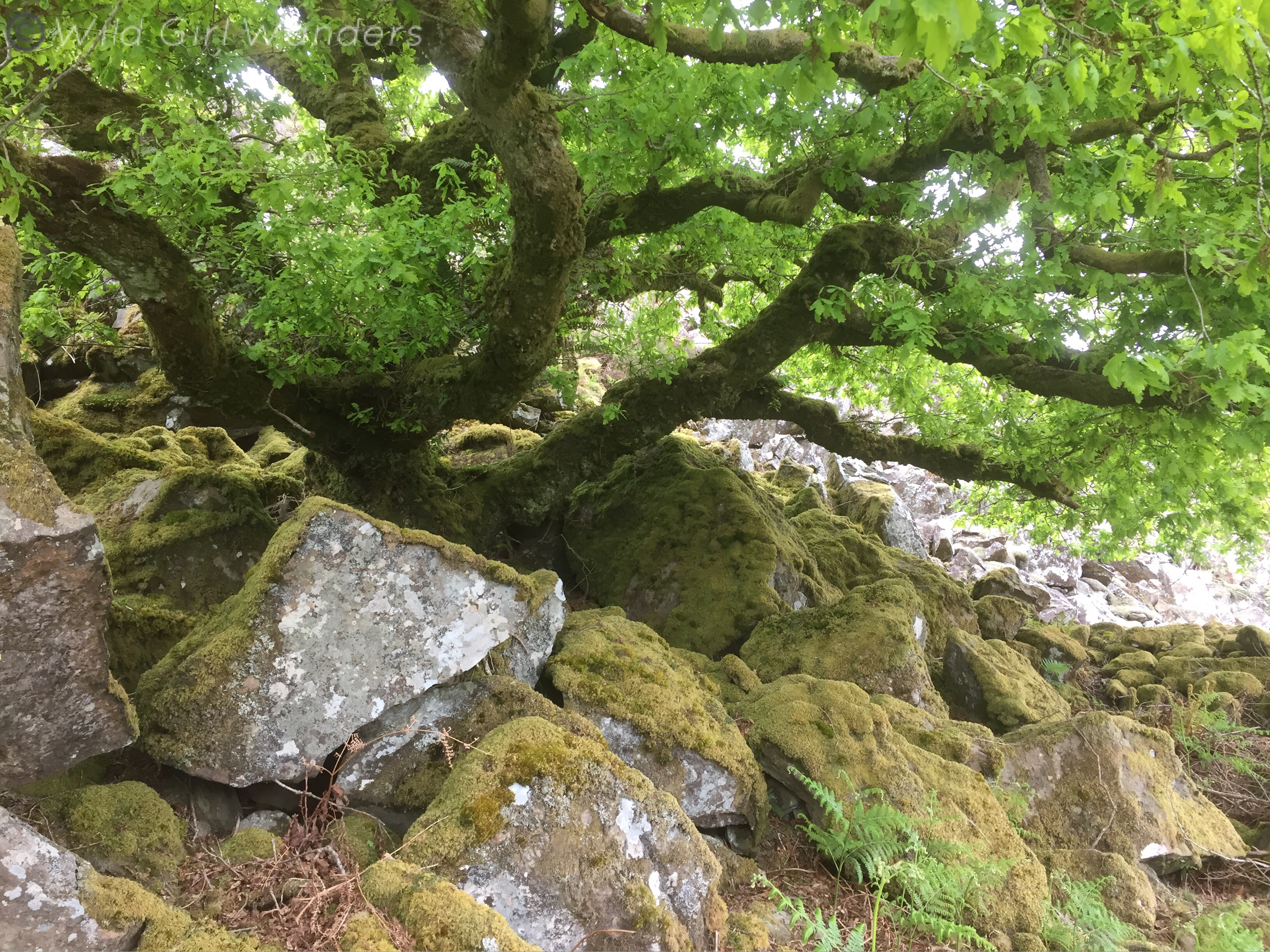
As you continue along the trail it stays pretty flat throughout, getting rougher underfoot in the middle and smoothing out towards the end. Cader Idris is visible as you reach the eastern side and the estuary slightly later. The trail is just above the tree line so there’s a lovely mix of wildflowers and wildlife to look out for. I most recently walked it in spring and dog violets, lesser celandine and holly flowers were out in force, supporting the local bees and other insects. There are some amazingly twisted and old holly trees to look out for on the Cader Idris side of the hill and a huge gnarled oak near a gate towards the end. The final stretch of the trail is also shadowed by true giants! Huge beech trees for the most part with a few oak and coniferous trees dotted throughout. You’ll know you are coming to the end of the circular when you see the fallen branch from a large beech bridging the path. And if you’re brave/stupid it’s fun to climb on!
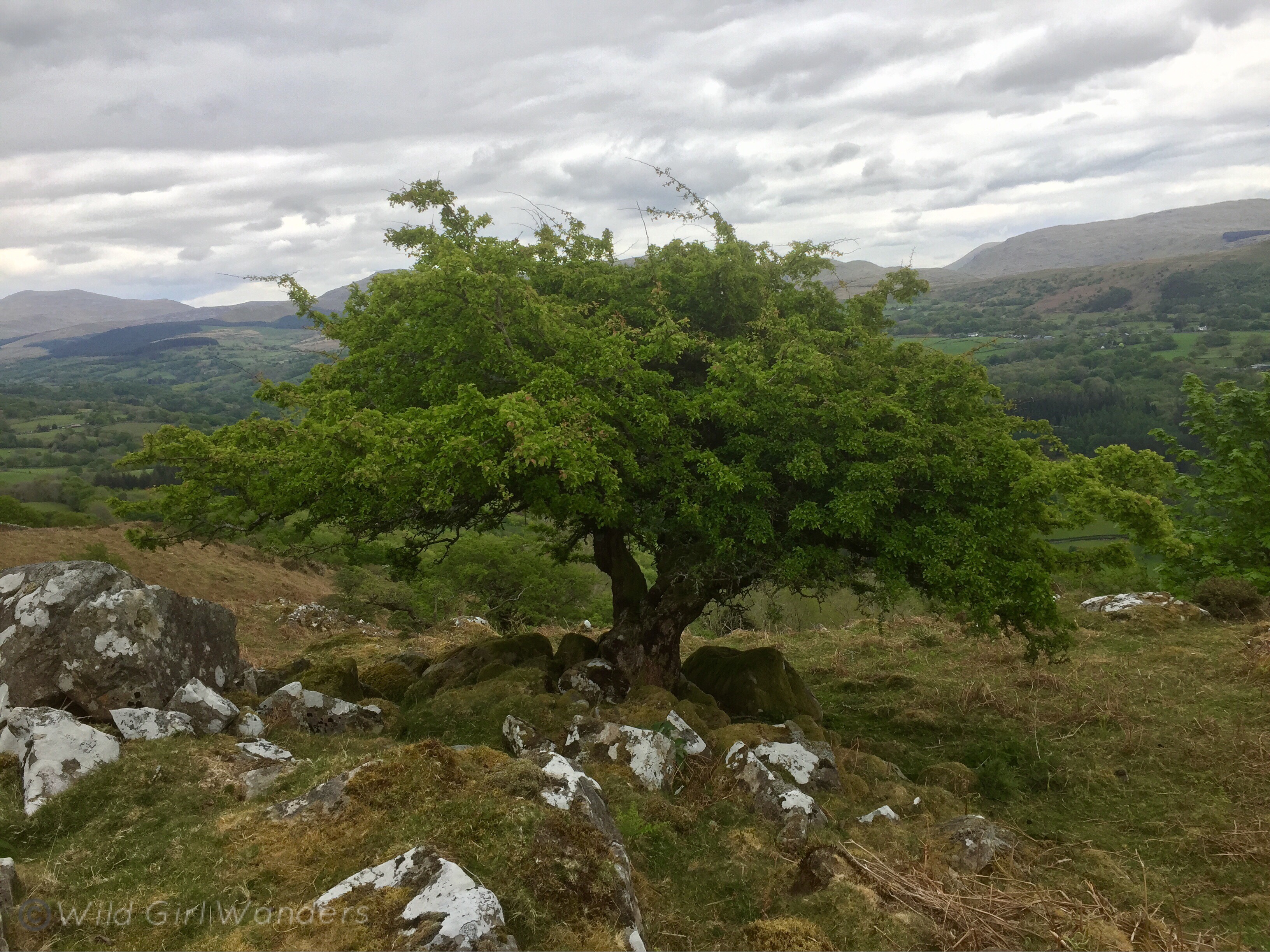
The route to the summit of Foel Offrwm is much shorter than the circular but it is very steep. It zigzags straight up the steepest side of the hill, making it a very direct route. The ground is pretty uneven for the entirely of the incline but it doesn’t take long to make it to the top. The summit is covered in heather and stone from the ruins of the hill fort. There’s a little information about the fort online that tells of a large settlement dating back to the Iron Age. There is also a second fort further towards the bottom of the hill but it isn’t as impressive as the main fort at the summit. The small stone tower marking the highest point isn’t part of the Iron Age settlement itself and was built much later. The low tower flies the Welsh flag and is a great place to sit and admire the view.
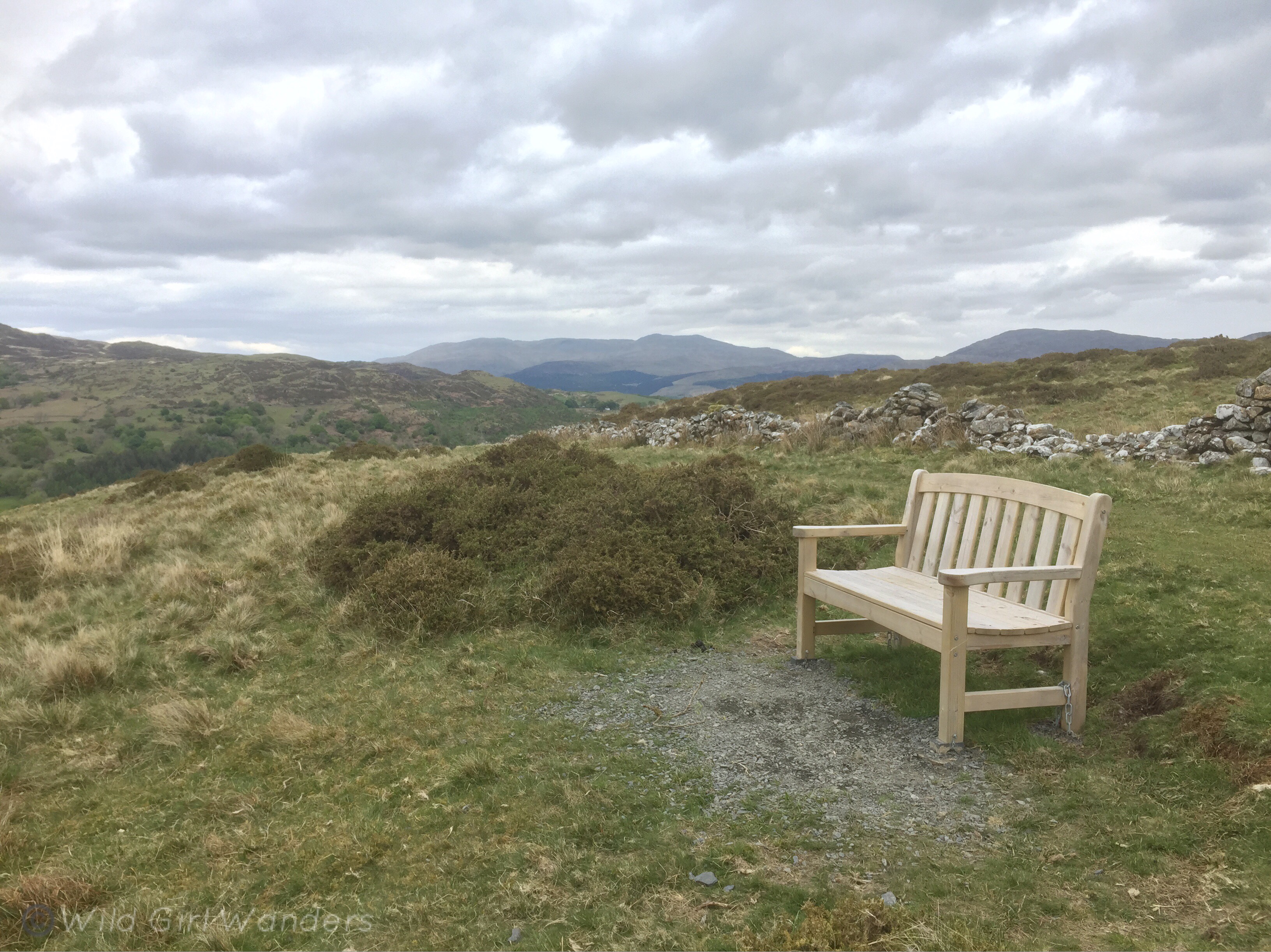
Despite the drama of the view in every direction I always sit facing the Mawddach Estuary. The eyes are inexorably drawn towards the sea, and if you’re up there in the afternoon, towards the slowly setting sun. It feels old up there, like time passes more slowly, or that time is at least less important than in other parts of the world!
Please drop me a comment if you do go and experience Foel Offrwm and let me know what you think. I’ve attached the official Snowdonia National Park route pdf for the circular walk below as an easy to print out guide. Happy hiking!